Every hectare accounted for, every planting on the record.
Boundary-mapped fields and every planting from land-prep to harvest.
Almost every argument on a farm eventually becomes an argument about area. How big is that block really? Did we plant 4 hectares or 6? Was the fertiliser rate calculated on the surveyed figure or the one someone remembered? FuroField settles it by making the field boundary itself the source of truth and deriving area from it.
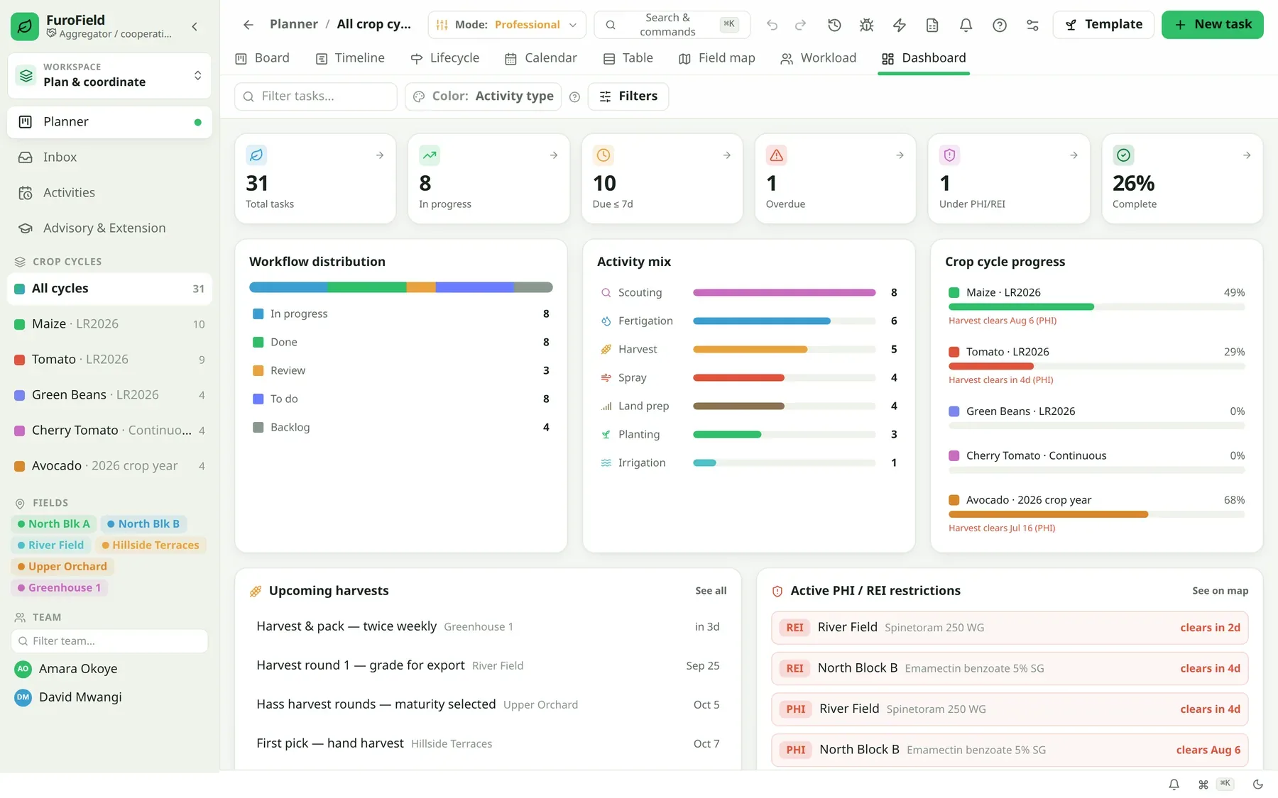
On top of each field sit crop cycles — one per planting. A cycle carries its crop, variety, planting date, target yield and growth stage, and moves through land-prep, planting, growing and harvest. Everything else in the platform hangs off that spine: the sprays you record, the costs you book, the lots you harvest, the compliance evidence you export.
When area is a guess, everything downstream is a guess
Input rates, yield-per-hectare, cost-per-hectare, contract volumes and compliance declarations are all calculated per unit of land. If the land figure is soft, every number built on it inherits that softness — and nobody notices until a buyer or a lender asks for proof.
- Fertiliser and chemical rates applied against a remembered area, not a measured one
- Yield-per-hectare that can't be compared between blocks or between seasons
- Contract commitments made against land that was never actually measured
- No record of which planting a cost, spray or harvest actually belongs to
From first record to something you can act on
Map the boundary once
Walk the perimeter with a phone, tap the corners on a map, or import an existing polygon. The boundary is stored as geometry, not as a typed-in number.
Let the area derive itself
FuroField computes hectares from the captured polygon. Every field also records how its boundary was captured — walked, tapped, imported or inferred — so you can distinguish measured geometry from a declared estimate.
Open a crop cycle per planting
Each planting becomes its own cycle with crop, variety, dates and target yield. Two cycles on the same field in one year — a main crop and a succession — stay cleanly separated.
Work the cycle through its stages
Move the cycle through land-prep, planting, growing and harvest. Stage changes are guarded, so a cycle can't skip from planted to harvested without the record that justifies it.
In detail
Polygon boundaries with derived area
Hectares computed from captured geometry — one operational number, recalculated if the boundary is corrected and labelled with its capture provenance.
Boundary provenance
Every field records whether its shape was walked, tapped or imported, so you know which figures are survey-grade and which need revisiting.
Crop-cycle lifecycle
A guarded planned → land-prep → planted → growing → harvested progression, so the state of a block is always unambiguous.
Growth stages
Track the crop's development stage on the cycle, which drives nutrient timing, scouting prompts and harvest-window estimates.
Successions on one field
Multiple cycles per field per season stay separate, each with its own costs, sprays and yields.
Per-hectare plan limits
Your plan is measured in fields and hectares — the units your business actually runs on, not per-user seats.
Built for these operations
About fields & crop cycles
What if I don't know my field boundaries yet?
Start by tapping the corners on the map — it takes a minute per field and is far more accurate than a remembered figure. You can walk the perimeter later to upgrade it, and the provenance flag will show which fields have been done properly.
Can I import boundaries I already have?
Yes. If you hold polygons from a survey, a GIS system or a previous platform, they can be imported rather than re-captured.
What happens if a boundary is wrong and I fix it?
The area re-derives from the corrected geometry. Because area is computed rather than typed, the fix propagates instead of leaving stale numbers behind.
Bring your fields online this season
Start free on up to 25 hectares — no card. Scale by the hectare as your operation grows.